


CAD Drawings from Aerial Scanned Point Cloud Data for Surface Plan
Project

Published by:
Datasheet
Company: Hitech BIM Services
Location: Ahmedabad, India
Year of the project: 2017
Published: 27/12/2019
Description
Client Profile:
Drone Solution and Data Consultant
Industry:
Infrastructure Development
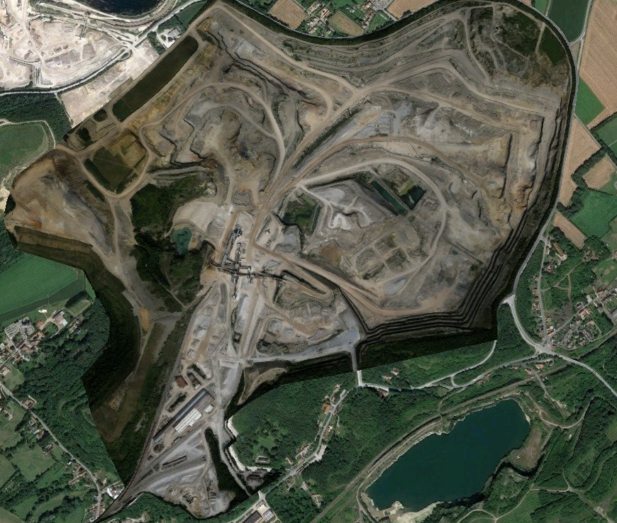
Location:
France
Software Used:
AutoCAD, Global Mapper, FME, Mensura, Google Earth
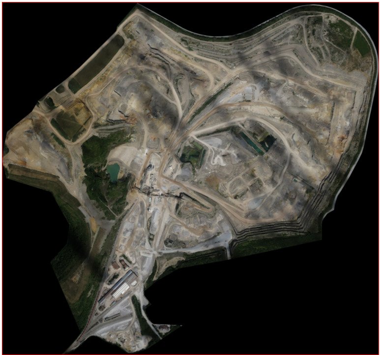
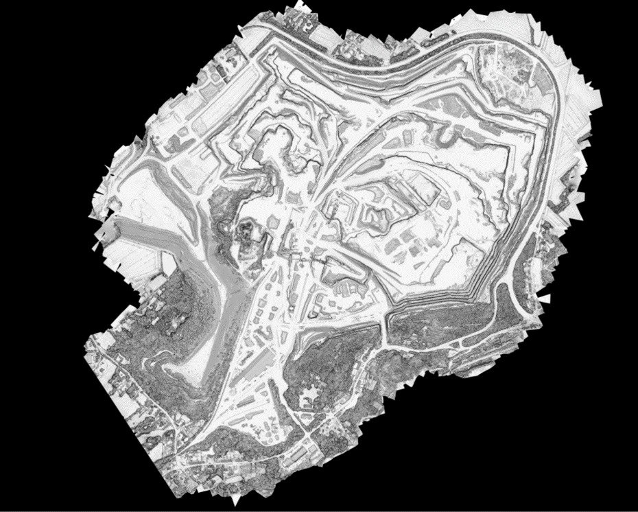
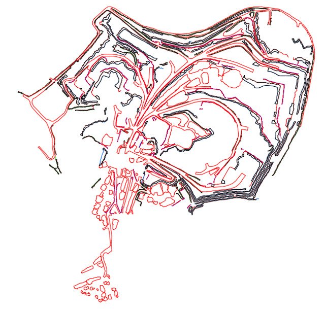
Input Received:
Configuration, DSM, Log, Model, Acquisition Details, Ortho-photography, Point Cloud Data, Slopes Degree
Challenges:
- Understanding the uneven slope, road subbase and site topography in a short period from the scanned data beforehand the CAD conversion begins.
- Steep banks, overgrown areas, and other complex topography demanded skillful interpretation to deliver accurate engineering CAD drawing and placement of safety berms.
- For the safety operations, interpretation of fissures and cracks in the scanned data before preparation of the surface plan.
Solutions:
- The project engineers at Hitech studied the aerial scanned point cloud data, acquisition details, and Ortho-photography, and converted them using point cloud data into engineering CAD drawings for a surface plan such as haul road, safety berm, quarry face and most important computation of Stockpiles.
- They also prepared detailed excel reports for mining site data analysis and project documentation for the lifecycle of a mine.
Type of Work
- Building
How was the BIM Experience in the project?
Reality Simulation: Does it help to get an idea of the final product?
Waste reduction, labor costs and deviations
Greater control of the construction process
Improves collaboration between agents
Conflict resolution and clash detection
Correction and error handling